FAA ID25ICAO not listedPrivate use
Key facts
- City
- Sandpoint, ID
- Elevation
- 2,140 ft
- Use
- Private use
- Ownership
- Private
- Owner
- Olmstead Acres Homeowners Assoc Inc
- Control tower
- No
- Last checked
- Facility type
- Airport
- County
- Bonner
Runways (1)
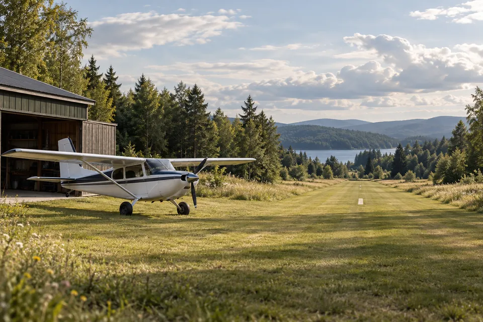
- 16/343,000 × 50 ftTurf
Report an error
Tell us what is wrong with this record. Please do not include personal information.